Borough, or the rest of 19426
Collegeville is a borough, incorporated in 1896, 5,043 people on 1.57 square miles along the Perkiomen Creek, with 1,655 housing units in total. That last number is the one to keep in mind, because almost every figure published under the name Collegeville describes a much larger area.
The school district is where it matters. Perkiomen Valley School District serves the boroughs of Collegeville, Trappe and Schwenksville and the townships of Lower Frederick, Perkiomen and Skippack. The Collegeville 19426 mailing address, meanwhile, reaches into Upper Providence and Lower Providence Townships, which are not in Perkiomen Valley — and the district’s own headquarters sits at a Collegeville 19426 address on Iron Bridge Drive, which helps nobody. The plain sentence is the useful one: a Collegeville 19426 address is not necessarily Collegeville Borough and not necessarily Perkiomen Valley, so confirm the township.
The tax bill that follows
For 2026 the borough levies 8.55 mills, which it publishes as 7.2 general, 1.0 fire and 0.35 ambulance. Add 5.462 county, 0.49 for Montgomery County Community College and Perkiomen Valley’s 40.05 for 2026-27 and the total is 54.552 mills, with the borough bill on 1 March 2026 and the school bill on 1 July 2026 (the county’s 2026 millage sheet and the borough’s own tax page, read 26 August 2026). For scale on the district side, Perkiomen Valley moved from 37.32 to 38.70 mills for 2025-26 in a $137,182,875 budget adopted unanimously on 9 June 2025.
Those mills apply to a 1996 assessment. The county has not reassessed countywide since 1996, and the state’s Common Level Ratio factor for deeds dated 1 July 2026 through 30 June 2027 is 3.36, so assessed value runs near 30% of market.
Worked through: a $500,000 house is likely assessed near $148,800, and 54.552 mills on that is roughly $8,118 a year. It is an estimate — parcels vary and the seller’s bill is the real evidence. Then add the earned income tax, which is the quiet one here. A borough resident pays 1.40%: 0.50% to the borough and 0.90% to Perkiomen Valley, the only Montgomery County district charging 0.90% where nearly every other district charges 0.50%. On $150,000 of earned income that is $2,100 a year, and no township decision changes it. A $52 local services tax applies to anyone working in the borough. Perkiomen Valley’s homestead exclusion was published at $385 per homestead for 2025-26, against a county range that runs from $149 to $777.
The houses
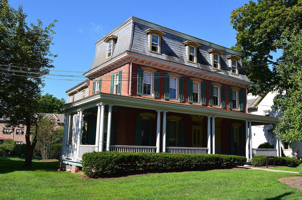
Collegeville is a middle-aged borough. Median year built is 1973, with two clear waves: 24.0% of units built between 1960 and 1969 and 23.7% between 1990 and 1999, another 14.4% from the 1950s, and only 4.8% predating 1940. 55.8% are detached and 16.3% attached, and for a borough this small the multi-unit share is striking — 11.9% in buildings of 20 to 49 units and 7.8% in buildings of 10 to 19. Owner-occupancy is 75.8%, and the ACS median owner-estimated value is $443,000 (Census ACS 2020–2024 five-year).
So: split-levels and ranchers from the sixties, colonials from the nineties, and enough attached and condominium product that a project review comes up more often than the size of the place suggests. That review looks at the association’s budget and reserves, its insurance, how much of the project is owner-occupied and whether it is in litigation — a set of questions about the building, separate from anything about the buyer. Order the resale packet early.
One more from the stock: 18.8% of households heat with oil, close to one in five, so tanks come up here too. The Perkiomen Bridge, built in 1799 with money raised by a lottery the Pennsylvania Legislature authorised, and the Perkiomen Bridge Hotel are both on the National Register. Ursinus College arrived in 1869, a year after the railroad; the town is named for the Pennsylvania Female College, which closed in 1880 and left the name behind.
What a lender will ask about here
The creek, and it is the whole conversation. The gauge upstream at Graterford has an 11-foot flood stage, 13 for moderate and 16 for major, and its record is 24.23 feet on 2 September 2021 during Ida — with the gauge effectively at its limit. Second on the list is Isaias at 19.32 feet in August 2020, thirteen months earlier. Agnes ranks fifth here at 17.08 feet, which upends the benchmark most people carry (NOAA river gauge records, read 26 August 2026).
Inside the borough, Ida destroyed more than twenty homes, put Main Street under water between First and Second Avenues, flooded six businesses, knocked out traffic signals and badly damaged the early-1700s Perkiomen Bridge Hotel. That account is the borough’s own, published in its stormwater report, and its council president Cathy Kernen and Crystal Gilchrist carried it to the Pennsylvania House Democratic Policy Committee on 3 October 2022.
Which means the first practical question about a Collegeville house is which side of the Perkiomen it sits on and what the FEMA map says. A flood zone determination is ordered on every file anyway; here the insurance quote should arrive before the offer does. There is no rail station in the borough and no line through it — SEPTA bus 93 runs Main Street and Ridge Pike, and the nearest train is Norristown Transit Center, about forty-six minutes to Suburban Station on the timetable in force from 5 July 2026. US 422 and PA 29 do the rest, and 422 is the reason the ZIP built out the way it did.
Next town over
Pottstown is up 422, older, and its own school district. Norristown is the nearest rail and the highest municipal rate in the county. Blue Bell is the other side of the county’s millage range at 36.502 mills.
What to do next
Bring three things to the first call: the township on the deed, the price, and whether the parcel touches the Perkiomen flood plain. That is enough for a licensed Pennsylvania mortgage lender to call you back, usually the same working day and by the end of the next working day at the outside, with the right district’s mills and the right earned income rate in the estimate. Call the number at the top, or put the details in the form and send it along. The creek question is the one to settle first, and it takes one look at a map.